My dad and I love the outdoors and we can often be out for hours at a time and in all weather conditions. We often end up in the middle of nowhere too. In certain situations, we would probably struggle to get emergency assistance, especially when we’re not familiar with the area or there aren’t any easily-identifiable landmarks nearby to establish precisely where we are.
In a medical emergency, precise communication and exact location of an incident is paramount. If the need for assistance occurs in a remote area, the more accurate the provided location, the better chance the emergency services have of getting to and dealing with the incident quickly and efficiently.
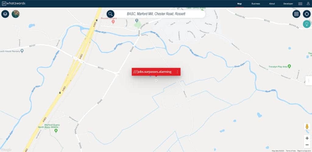
A useful tool for the shooting community, and indeed anyone who spends time outdoors is the free-to-download and use app What3words (WTW). Quite simply, WTW effectively divides the world into a grid of 57 trillion virtual 3m x 3m squares and assigns each square a unique three-word address. This enables the user to give their exact location by simply giving the emergency services the three words assigned to the square they’re in. Most people carry a smartphone these days and WTW doesn’t need internet signal to work, making it an ideal tool to have, even in remote locations.
In the UK alone, over 86 police, fire and rescue, ambulance and UK coastguard emergency services have confirmed they are now using and accepting three-word addresses to pinpoint locations. Call handlers can send people calling in a text message that contains a link to the WTW map, enabling them to pinpoint their location and provide the unique three-word address. Emergency assistance can then be dispatched to a precise location, saving valuable time.
Hopefully we’ll never have to use WTW, but if we, or someone else, is ever in need of emergency help, at least we’ll be prepared when we’re out on our adventures!